

Occupying a position of exceptional importance in terms of national defense, security, and marine economic development, the Thổ Châu Special Zone holds strategic significance not only for the Mekong Delta but also for Việt Nam as a whole and the wider region. It is one of three special zones under An Giang Province, located southwest of the Phú Quốc Special Zone and marking the southwesternmost point on Việt Nam’s map.
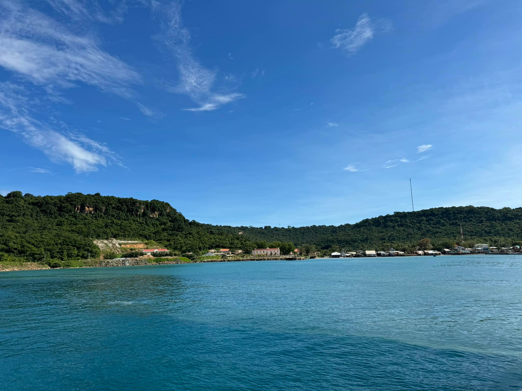
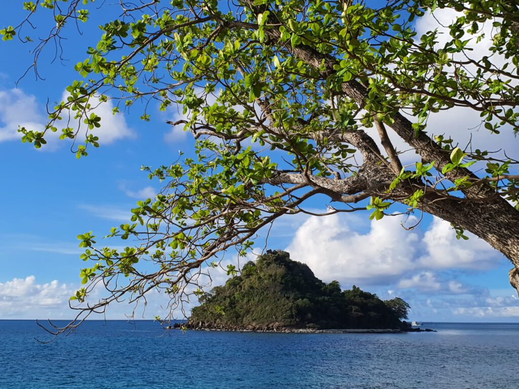
Thổ Châu has a natural area of 13.95 km² with a population of more than 1,893 residents. The archipelago consists of eight main islands and islets, including Thổ Chu Island, Nhạn Island, Xanh Island, Từ Island, Cao Cát Island, Cái Bàn Island, Đá Bạc Island, Khô Island, along with several submerged rocky islets. The waters of Thổ Châu historically border Cambodia and Thailand, lying about 101 km from Phú Quốc and approximately 220 km from Rạch Giá.
The Formation of a Frontier Island Commune
Before 1954, Thổ Châu belonged to Bạc Liêu Province and had no permanent inhabitants. On September 3, 1956, the government of the Republic of Việt Nam issued a decree establishing Thổ Châu Commune, then under An Xuyên Province (present-day Cà Mau). In 1957, a naval squad was stationed on the island, accompanied by a few households from Bình Định who settled there and made their living from the sea.
In the following years, Thổ Châu underwent multiple administrative changes. It was at times placed under Phú Quốc District and directly managed by the Navy of the Republic of Việt Nam. Between 1970 and 1973, several waves of migration and land reclamation were carried out, aiming to develop Thổ Châu into an economic and tourism hub in the western sea.
However, due to transportation difficulties and defense requirements, Thổ Châu was reassigned to Phú Quốc District in 1974. By early 1975, the island was home to about 100 households with more than 500 residents.
Historical Tragedy and the Rebirth of Thổ Châu
After the liberation of Phú Quốc on May 1, 1975, circumstances prevented immediate deployment of Vietnamese forces to Thổ Châu. On May 10, 1975, Khmer Rouge forces suddenly occupied the island and abducted the entire civilian population, who subsequently went missing.
On May 23, 1975, Military Region 9, in coordination with the Vietnamese Navy, launched an operation to liberate Thổ Châu. By May 25, 1975, the island was fully reclaimed. However, the fate of more than 500 abducted residents remains unknown—a profound and painful loss etched deeply into the island’s historical memory.
From 1975 to 1992, Thổ Châu functioned as a military island with no civilian population. In late March 1992, Kiên Giang Province implemented policies to encourage resettlement, providing housing support, food supplies, production loans, and fishing vessels.
Within just two years (1992–1994), 52 households with 339 residents settled on the island. By 2013, Thổ Châu’s population had reached nearly 2,000, and by 2020 it exceeded 2,050 people, predominantly ethnic Kinh.
Life Today: Hardships and Sacrifice
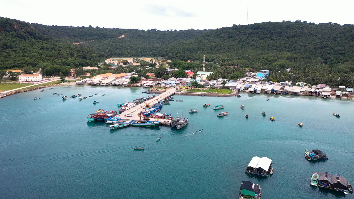
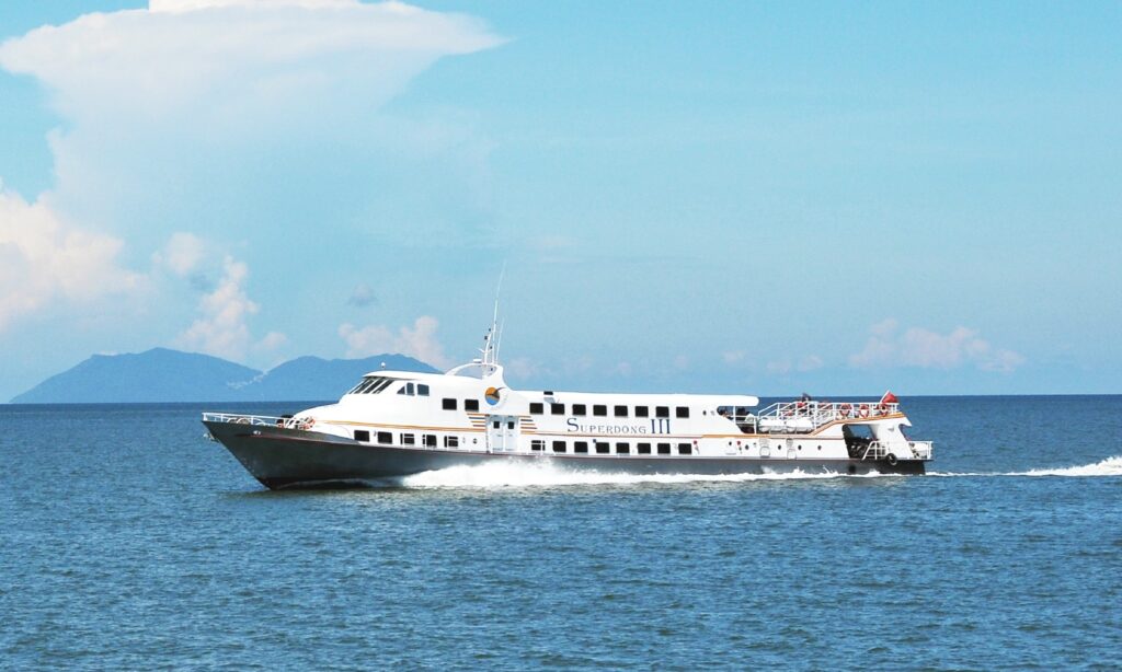
Today, Thổ Châu remains one of the most logistically challenging localities in the region. On average, there is only one boat trip every five days from Phú Quốc to the island; during rough seas or storms, services are often delayed or canceled. Internal roads are narrow, electricity is not available 24/7, and freshwater supplies are limited.
As a military island, access to certain forested and defense areas is restricted. Visitors or officials wishing to visit landmarks such as the National Flagpole or sovereignty markers must obtain permission and are subject to supervision by multiple authorities.
Land resources for residential use, infrastructure, and economic development are extremely limited. Local authorities have repeatedly proposed adjustments in land-use planning to better serve civilian life and economic needs.
“Living by the Wind” – A Unique Island Rhythm
The people of Thổ Châu primarily earn their living through fisheries logistics services, with a smaller portion engaged in fishing and aquaculture. Most residents live around Bãi Ngự on the island’s southwestern side. During the southern monsoon season (roughly from the 4th to the 8th lunar month), hundreds of households relocate to Bãi Dong on the eastern side; when the northern winds return, they move back to Bãi Ngự.
This seasonal migration has given rise to a unique local occupation: operating boats to tow floating cages and fishing vessels between the two bays. Moving homes twice a year is physically demanding and costly, yet it is an unavoidable reality for those determined to remain on the island and live in harmony with the sea’s winds.
Untapped Potential at the Edge of the Waves
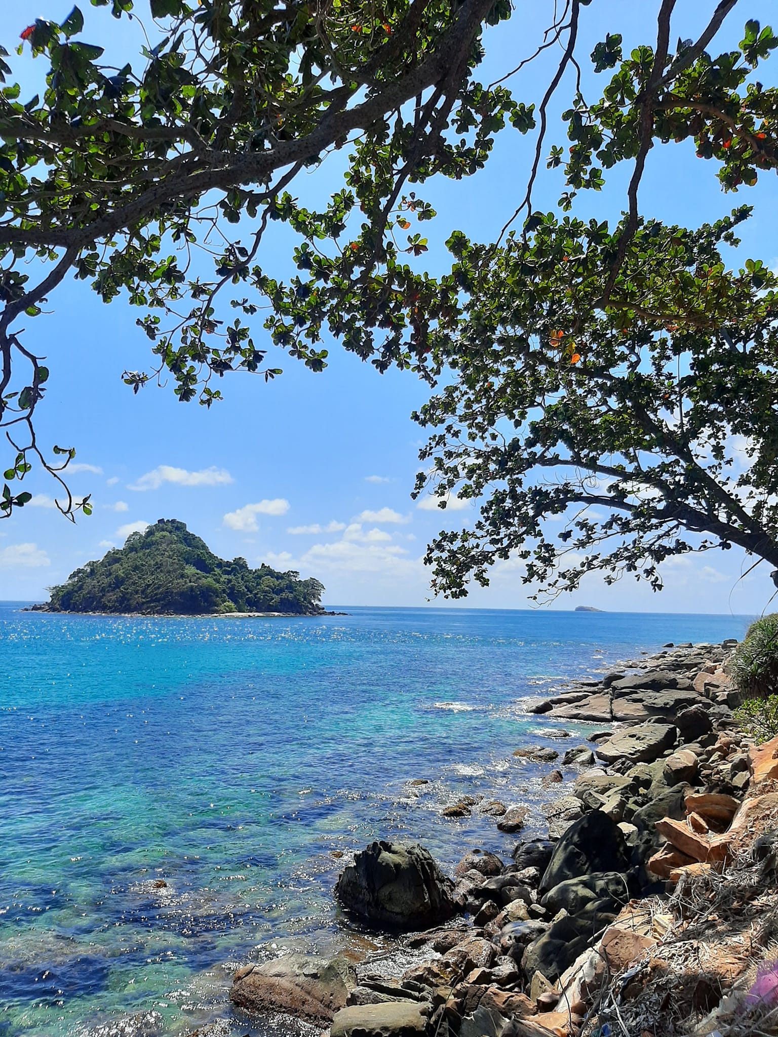
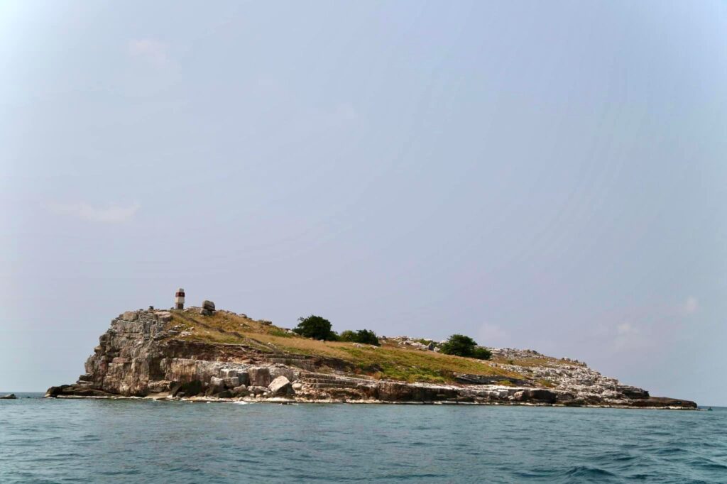
Thổ Châu possesses significant potential for socio-economic development and marine eco-tourism, with notable landmarks such as the National Flagpole, Việt Nam’s sovereignty markers, the A1 marker on Nhạn Island—the starting point of Việt Nam’s maritime baseline—along with a lighthouse, Victory Beach, Bãi Ngự, Bãi Dong, coastal and forest-crossing roads, pristine natural beaches, and diverse ecosystems across its eight islands.
Yet, due to national defense priorities and limited infrastructure, tourism on Thổ Châu is currently almost nonexistent. The most pressing challenge today is not luxury tourism, but retaining residents, stabilizing livelihoods, and safeguarding maritime sovereignty.
Thổ Châu – A Place to Visit Once in a Lifetime
Thổ Châu is not a destination for easy travel. Reaching the island requires two sea journeys, considerable time, and favorable weather conditions. But it is precisely this remoteness and hardship that define Thổ Châu’s unique value—a place where visitors can fully appreciate the raw beauty of Việt Nam’s seas and islands, and gain a deeper understanding of the quiet sacrifices made by those who steadfastly guard this frontier outpost.
Thổ Châu is not merely a destination; it is a sacred part of the nation, where sovereignty is preserved through blood, tears, and the enduring resilience of people standing firm against the winds of the southwestern sea.
